Ten maps about Tasmania
Wednesday, October 30, 2024 - 17:20
This is about Tasmania in just ten maps (I'm up to nine maps only at the moment, so it's a work in progress). Each map takes you to a detailed map from Tasmania's digital mapping service.
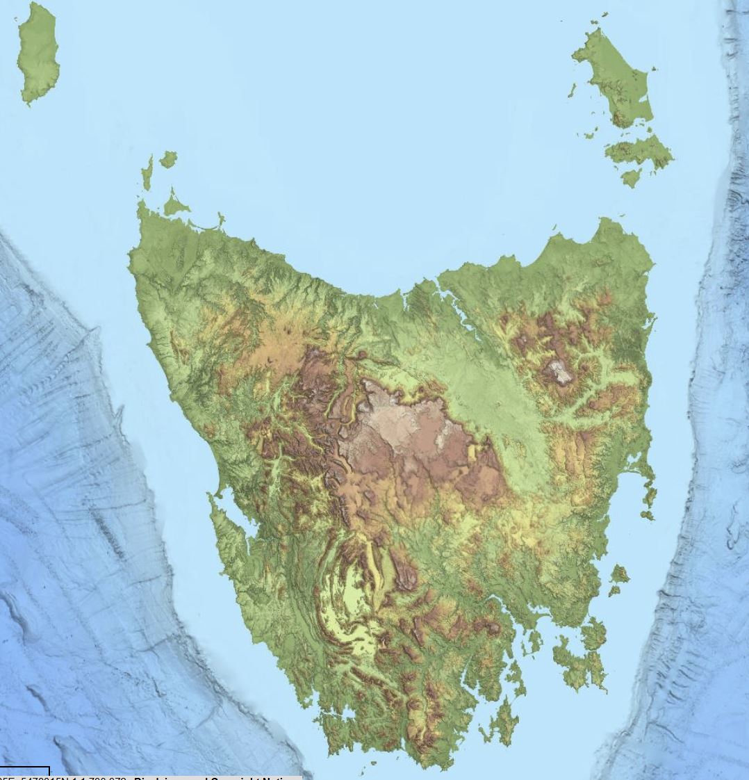
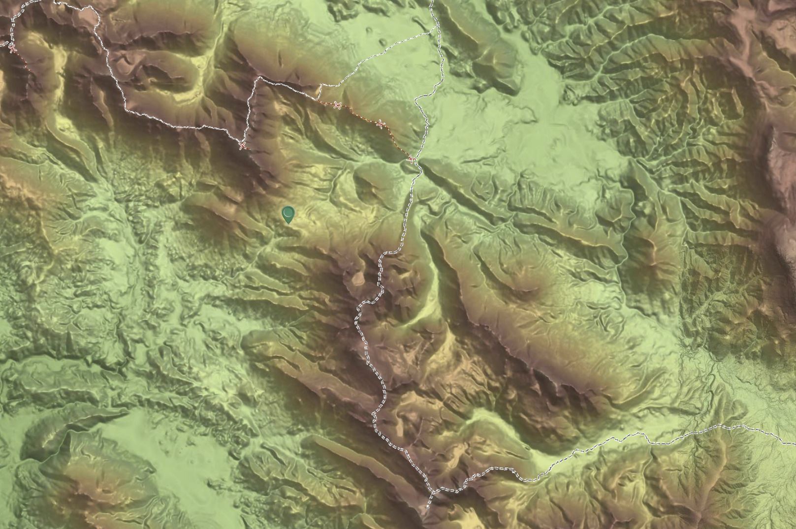
- The hillshade map shows terrain, highlighting mountains, valleys and the Central Plateau. This is a good map to highlight the variety of landscapes that Tasmania is renowned for.
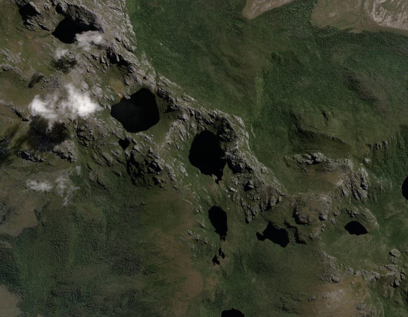
- The Western Arthur Range in southwest Tasmania showing the glacial influence of landforms and features in Tasmania. The narrow ridges between valleys and cirques are formed when glaciers erode either side of a ridge, sharpening it into a thin, often knife-like formation
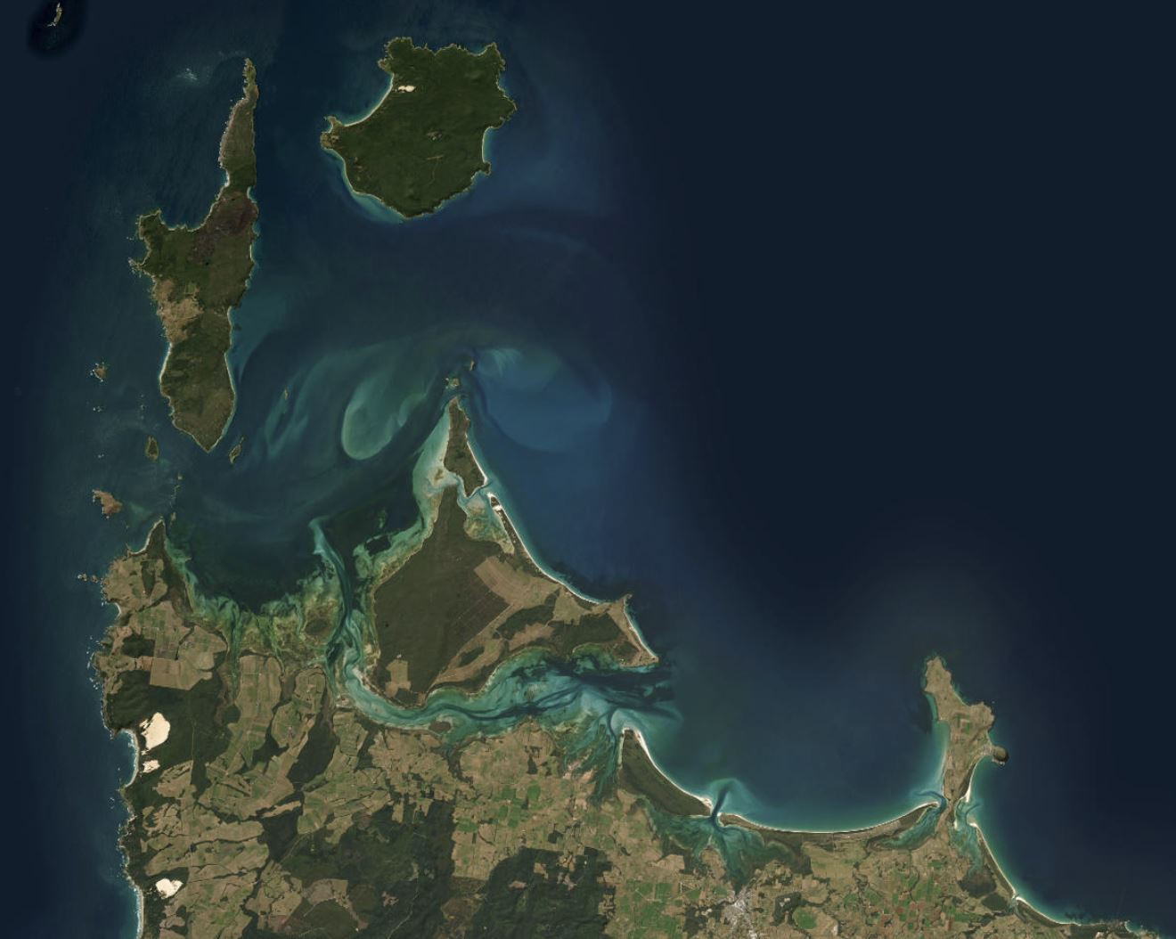
- Tasmania has been described as an archipelago of 334 islands, all of which are hugely diverse, offering a wide range of habitats to birds and mammals. There are many more than this though, possibly 10,000, as the scale and resolution of mapping influences the numbers of islands and islets.
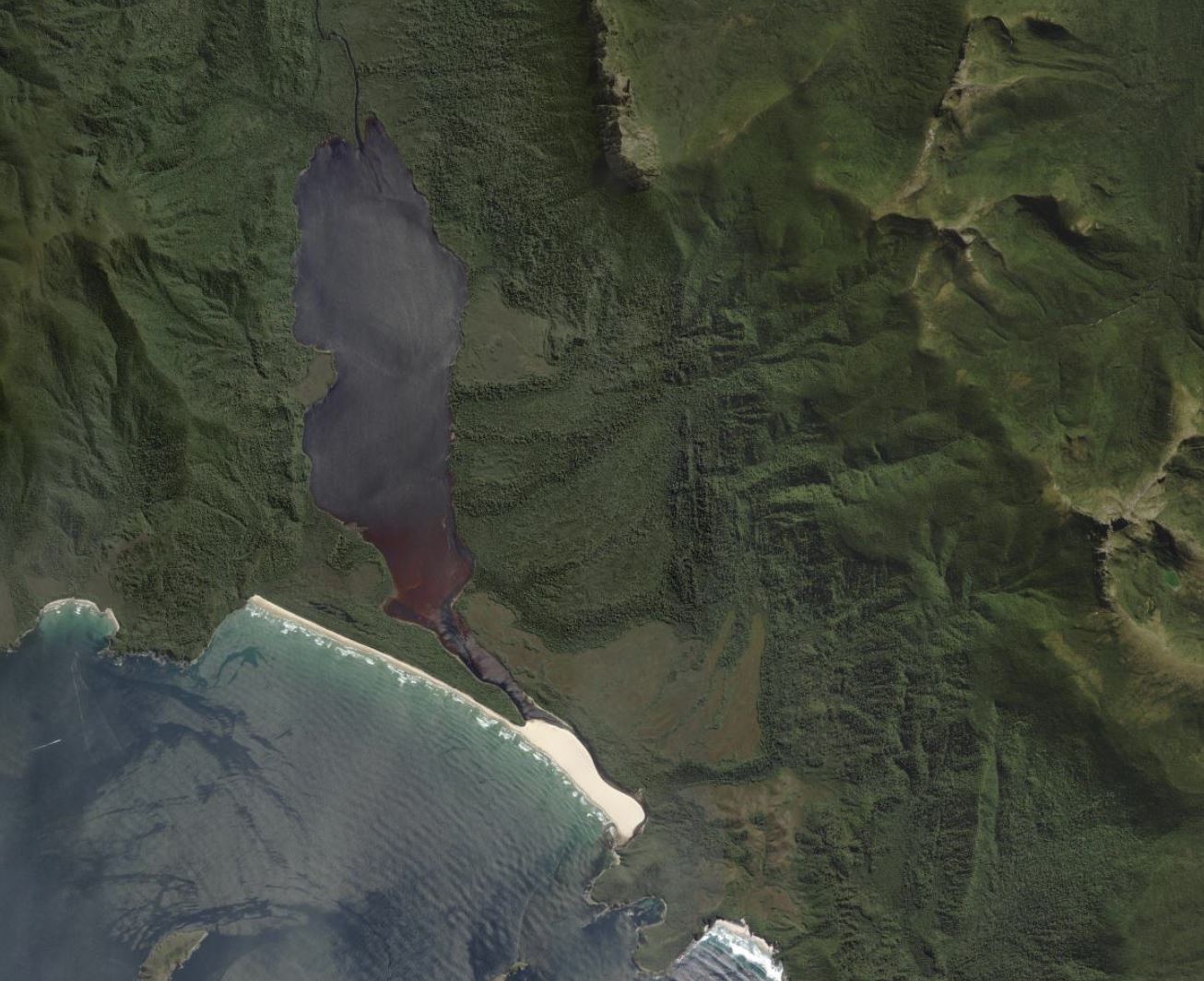
- Prion Beach and New River Lagoon on the south coast of Tasmania is an example of the high conservation significant coastal landforms. Apart from sea level rise caused by climate change, human impacts are restricted to walking tracks. New River Lagoon has a catchment that is entirely enclosed by rugged mountains, including Federation Peak and Precipitous Bluff.
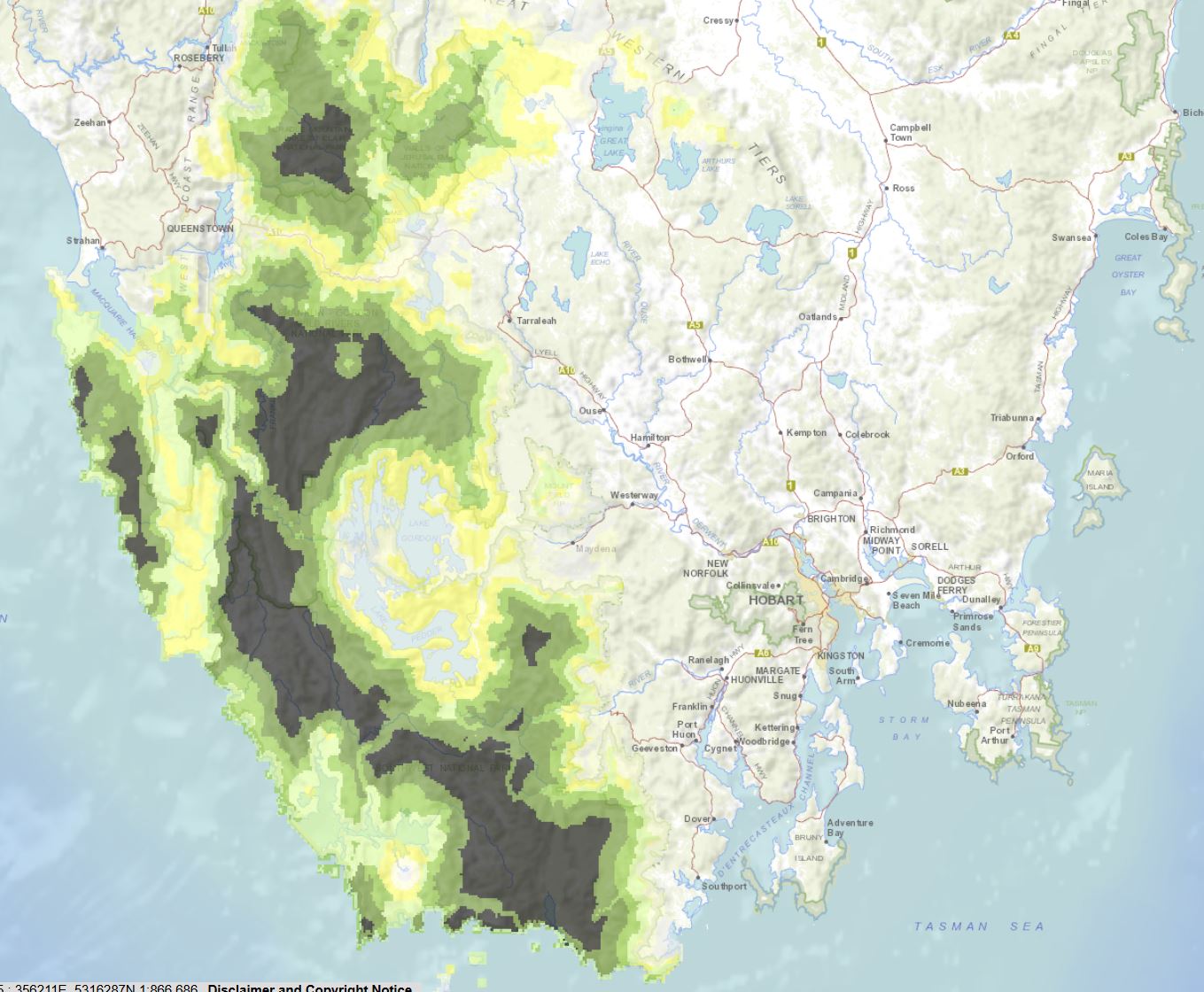
- Wilderness values vary across Tasmania. Many factors are considered in assessing wilderness, including biophysical naturalness and how close an area is to mechanised access. Wilderness values increase with isolation.
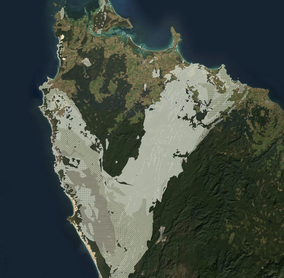
- Large areas of the geology of Tasmania are much older than mainland Australia. Tasmania has extensive Precambrian and early Proterozoic rocks that provide a window into Earth’s deep history. The geology also points to Tasmania's origins being more closely linked to the Northern Hemisphere places such as the Grand Canyon in North America. The map shows the broad location of some of this ancient geology including Rocky Cape in the northwest and Bathurst Harbour in the southwest.
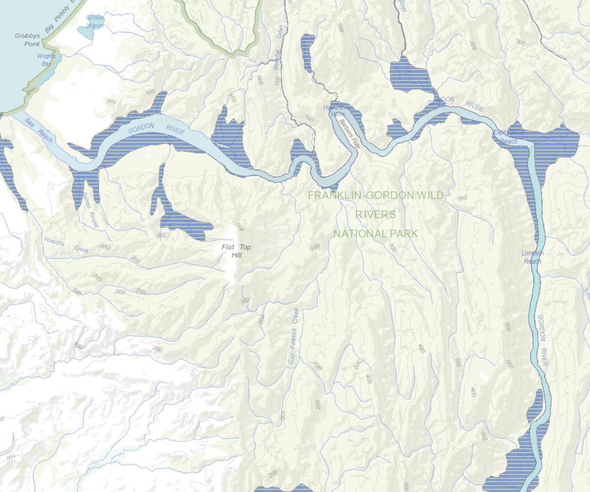
- Tasmania is home to several endemic tree species. This map shows the distribution of two emblematic species: Lagarostrobos franklinii (Huon pine) and Nothofagus gunnii (deciduous beech), both of which provide insights into the island's ancient Gondwanan heritage. Huon pine is a slow-growing conifer found in the cool, temperate rainforests of western Tasmania, particularly along riverbanks and in waterlogged areas, where it can live for thousands of years. Its presence reflects the persistence of ancient rainforest ecosystems that once covered Gondwana. Nothofagus gunnii is a deciduous species confined to Tasmania’s high-altitude subalpine regions, displaying brilliant autumn colors. As a member of the southern beech family, it shares a close evolutionary relationship with species found in South America and New Zealand, reinforcing Tasmania's deep botanical links to the prehistoric supercontinent. The map is zoomed in on the Gordon River, which is a good location to view the Huon pine.
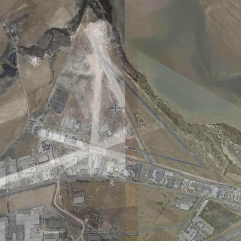
- This map shows the original layout of my local (general aviation) airport at Cambridge in Hobart. This is a composite of two aerial photos: one dating back to between 1941-50 and one between 1961-70. The two early aerial photos were needed to make a complete coverage of the airport. The transparency of the aerial photos has been set to allow the current layout of the airport to be visible. The Cessna 172 that I use today is stored in the same hangar that was present in the original aerial photos. You can adjust the transparency to reveal different current and historic features. The early images show the main northeast to southwest runway in the original airport layout. The present main runway (RWY 30/12) is a relatively recent development. The Cambridge Airport was the original main airport for Hobart before the current airport was opened in 1956.
- The decision for map 9 has taken a while but I finally decided on a location significant for bushwalkers as well as pilots. This is the gap between the Western Arthur Range and the Eastern Arthur Range, which pilots will fly through when the cloud ceiling is too low for a direct flight to Bathurst Harbour. This location also forms the route bushwalkers take on the climb to Federation Peak. The map shows the terrain together with the walking tracks.